The most beautiful and wild scenery of Somma-Vesuvius
The itinerary allows you to enjoy the most evocative and wildest Somma-Vesuvius scenarios, crossing forest environments, from the Maquis shrubland to the bare lava rock.
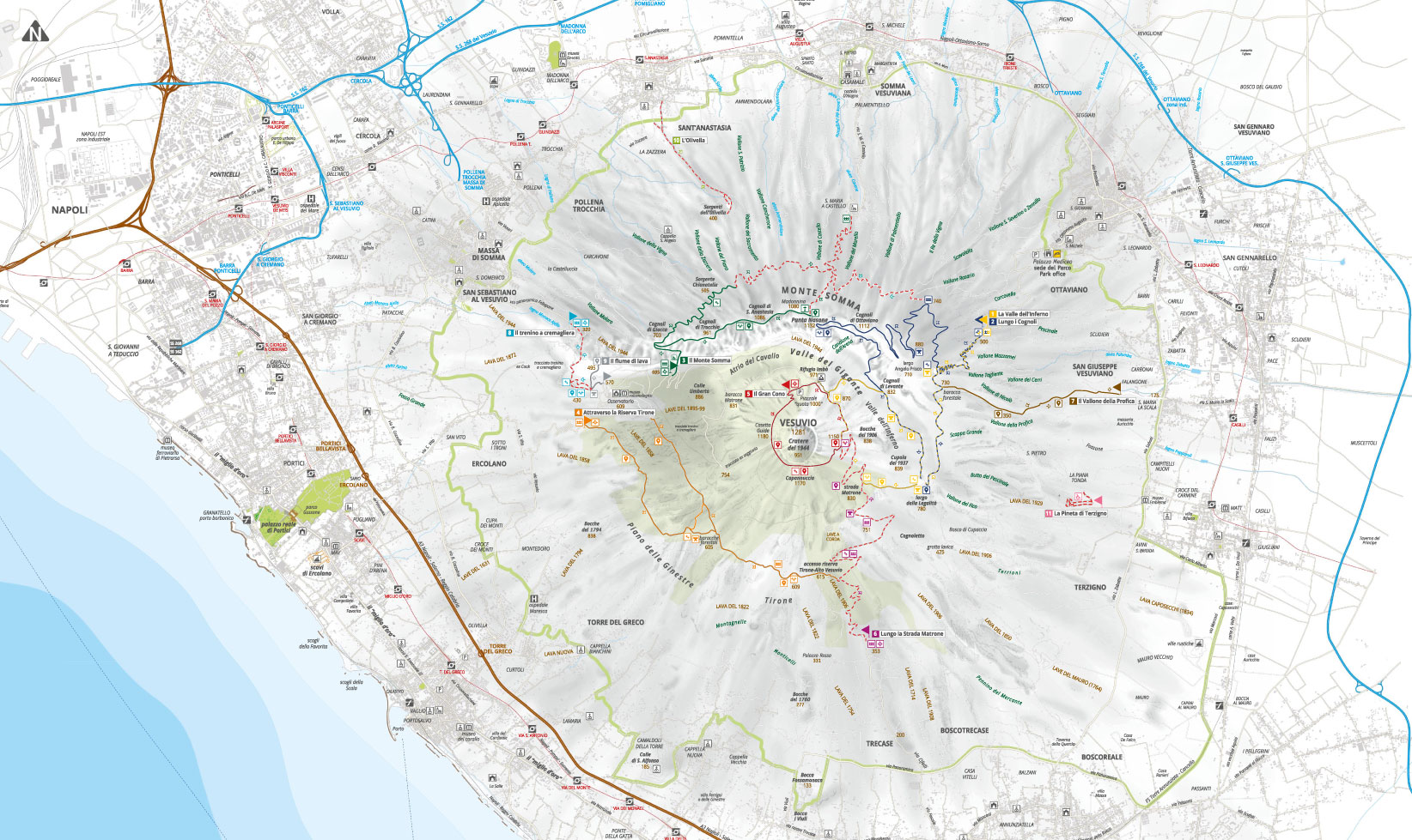
The starting point is located along the road that leads from the Medici Palace of Ottaviano to the volcanic complex. A traffic barrier marks the first part of the path, which is common with path n. 1, winds along asphalted hairpin bends and then turns into a dirt path.
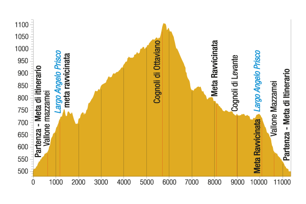
The plant landscape consists first of a thick stone pine wood and then of a mesophilous wood, with chestnuts, Italian alders and maples, holm oaks and black locusts. Among the nesting birds, the lesser spotted woodpecker, rare and localized in Campania, has only recently colonized the Vesuvius Park. After more than 1 kilometre of steep climb, you reach Largo Angelo Prisco, dedicated to the young financier murdered by poachers in 1995, which represents the close destination.
On the left, path n. 1 separates itself from the Largo, while the itinerary continues on the right in a weak ascent, passing, between bends and turns, in a shady chestnut wood where the numerous species of fungi emanate an intense and pleasant fragrance.
After about 1,200 metres there is a bar, on the right of which there is a branch, first passable and then pedestrian, which reaches the road that from Santa Maria di Castello ascends to Punta Nasone, thus connecting path n. 2 with n. 3. At present a landslide prevents this connection. Instead, our route continues on the left, continuing along a dense stone pine wood and Aleppo pine, to which species of the Italian alder and the European hop-hornbeam are then added.
At the end of the wood, the path opens into the vegetation of brooms, embellished by the presence of drywalls from the Bourbon era. Going up some hairpin turns, you reach the crossroads; take the path on the right that leads to a panoramic square, where the intermediate destination is located.

Please be extremely careful on the trails, always check weather conditions and wear appropriate shoes.
The Park Authority has no competence for safety and so it is not responsible for any damage to people and things that may occur during the use of the Park territory.
You’ll be taken aback by the sight of the imposing Punta Nasone (north-west), the Gran Cono of Mount Vesuvius (south-west), Atrio del Cavallo invaded by the lava of 1944 (west) and, at its feet, Canalone dell’Arena and Valle dell'Inferno.
Turning on the left, you can find a steep slope that ascends to the cognoli of Ottaviano (1,112 metres above sea level) and continues along the ridge through a series of spectacular ups and downs on volcanic sand, up to a pass (1,001 metres above sea level), from which you run down through a very steep stretch up to Valle dell'Inferno.
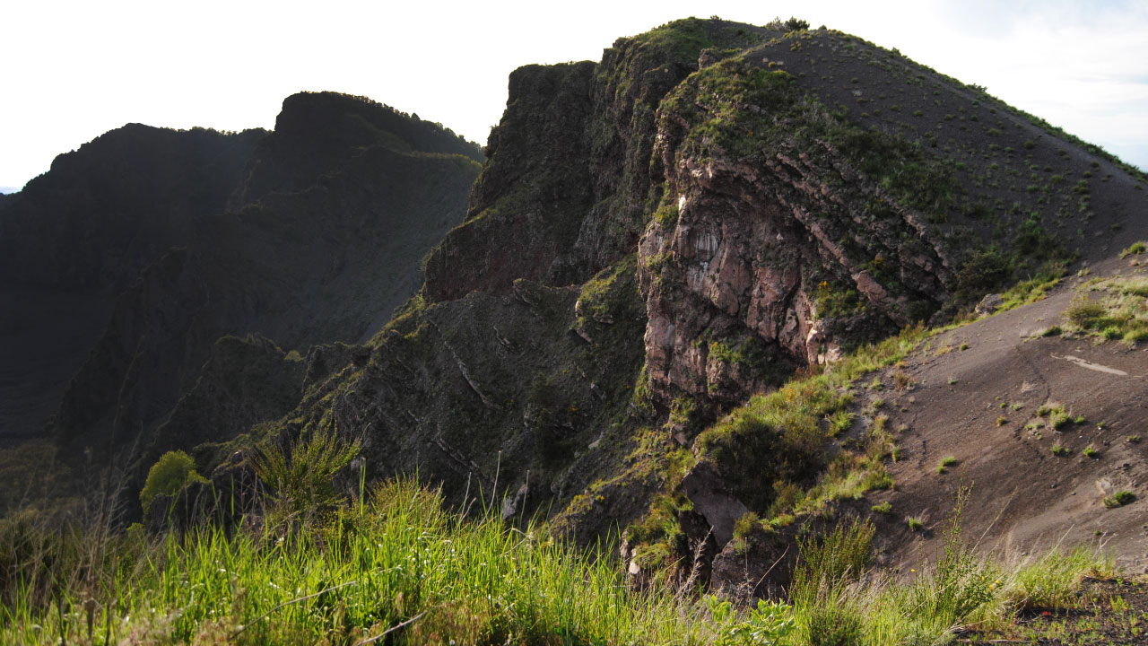
The valley is dominated by imposing rocky spurs, unique lava formations and red lava walls. It’s the kingdom of rupicolous birds, like the shining common raven, the very fast peregrine falcon and the lively black-eared wheatear.
The path, which here is in common with itinerary n. 1, follows the valley crossing thick brooms and at the end it bends to the left to go up the ridge of the cognoli of Levante, where you can admire the most beautiful formation of the Vesuvius ropy lava, engraved by a deep crevice and inhabited by numerous species of fern.
Following the slit on the right you arrive at its access point, from which you can go for a few metres in the belly of the volcano for a unique emotion. The pro route follows with a series of ups and downs that lead to a wide open space (780 metres above sea level).
A dirt road leads back to the Largo Prisco through pleasing stretches of brooms and mixed wood, from which the route goes back to the entrance, where the destination is.
Visit the other paths

The trail network is in overall redevelopment and maintenance and some paths may not be equipped with signs. Contact the Park Authority for more information.
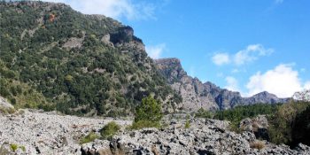
The Valley of Hell
Path N. 1 - The most beautiful places and the most representative environments of the protected area.
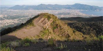
Along the Cognoli
Path N. 2 - The most beautiful and wild scenery of Somma-Vesuvius.
![]() Nature trail towards Somma Vesuviana temporarily closed
Nature trail towards Somma Vesuviana temporarily closed
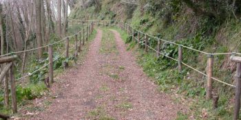
The Mt Somma
Paths N. 3 - This fascinating ring route leads to Punta Nasone, which with its 1,132 metres is the highest peak of Mount Somma.
![]() Nature trail from Somma Vesuviana temporarily closed
Nature trail from Somma Vesuviana temporarily closed
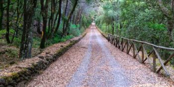
The Tirone Reserve
Path N. 4 - The track is located within the Tirone-Alto Vesuvius Forest Reserve, which covers about 1,000 hectares.
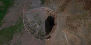
The Great Cono
Path N. 5 - A guide to visit the Crater of the Vesuvius.
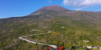
The Matrone Road
Path N. 6 - The path corresponds to the ancient road traced by the Matrone brothers to go back to the Gran Cono from the side of Boscotrecase; …
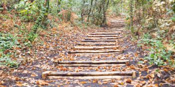
The Profica Valley
Path N. 7 - The itinerary, which is known as the “agricultural path”, winds along the slopes of the lesser known side of Mount Somma, the …
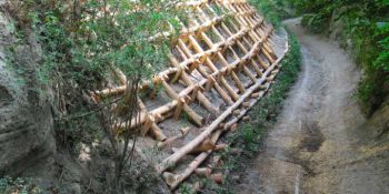
The Rack Railway
Path N. 8 - The itinerary follows the historical route for the ascent of Mount Vesuvius from the town of San Sebastiano to the foot of the hill …
![]()
Closed nature trail where maintenance interventions will be introduced
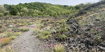
The River of lava
Path N. 9 - Thanks to this itinerary, you can experience the thrill of walking on a lava flow, surrounded by an almost lunar landscape.
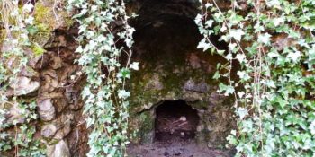
The Olivella
Path N. 10 - The itinerary retraces the Olivella path, which climbs through the countryside of Sant'Anastasia and leads to the homonymous springs, …
![]()
Closed nature trail where maintenance interventions will be introduced
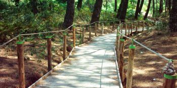
Terzigno Pinewood
Path N. 11 - The path is flat and is inside a thick pine forest, designed for pleasant walks and for people with limited difficulties.
